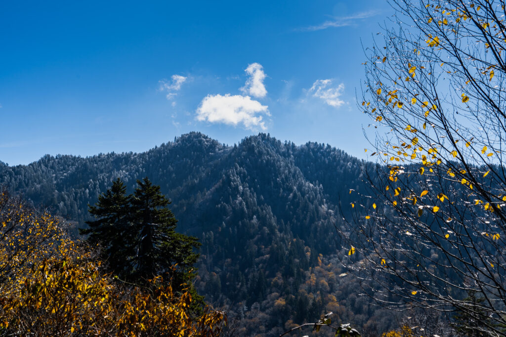
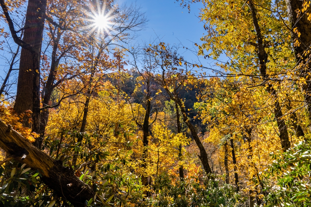
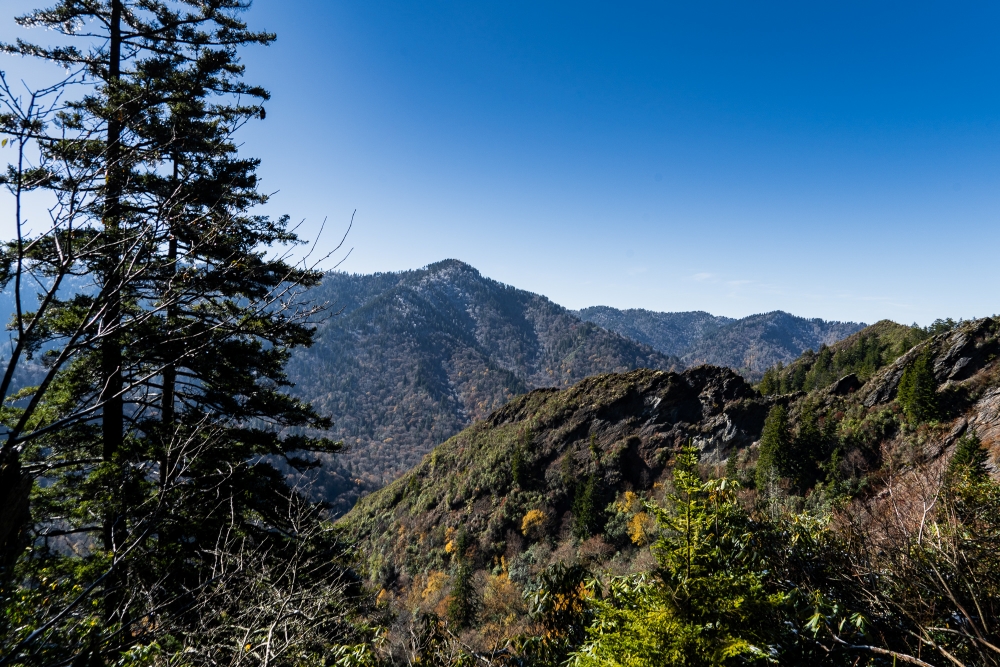
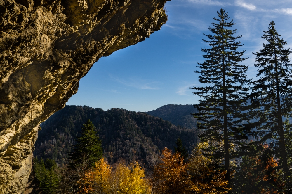
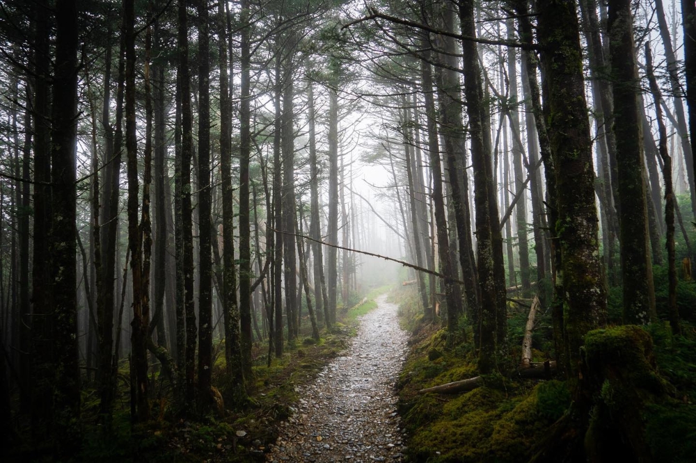
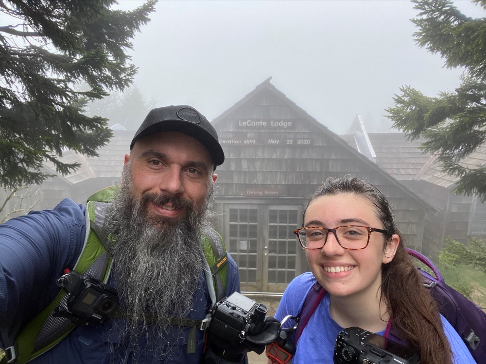
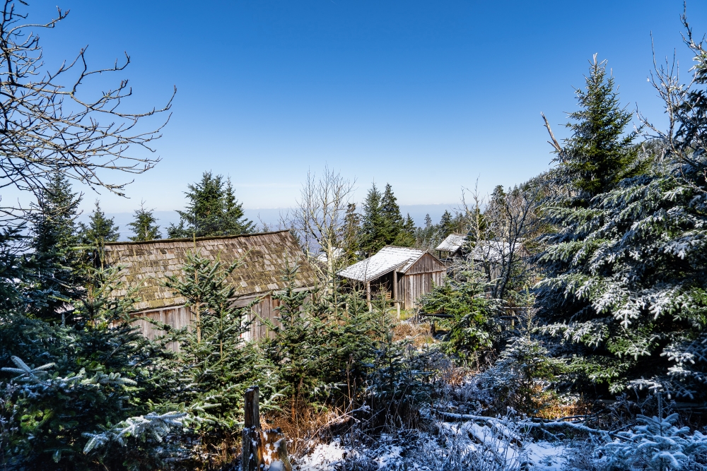
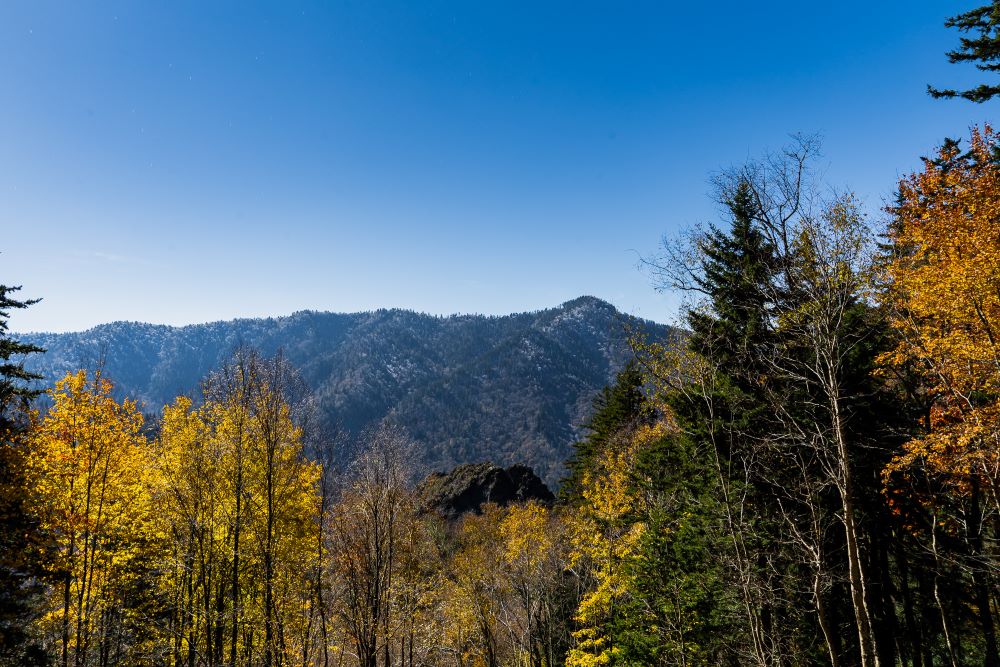
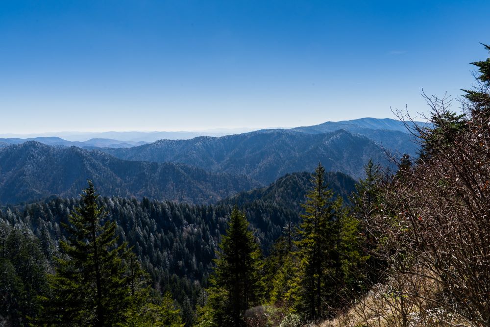
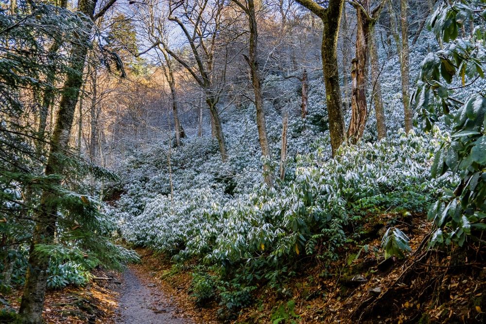
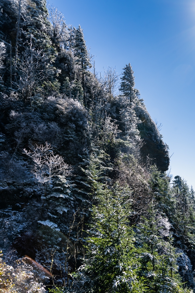
Alum Cave Trail to Mount LeConte – Great Smoky Mountains National Park
Alum Cave Trail to Mount LeConte – Great Smoky Mountains National Park

July 27, 2024