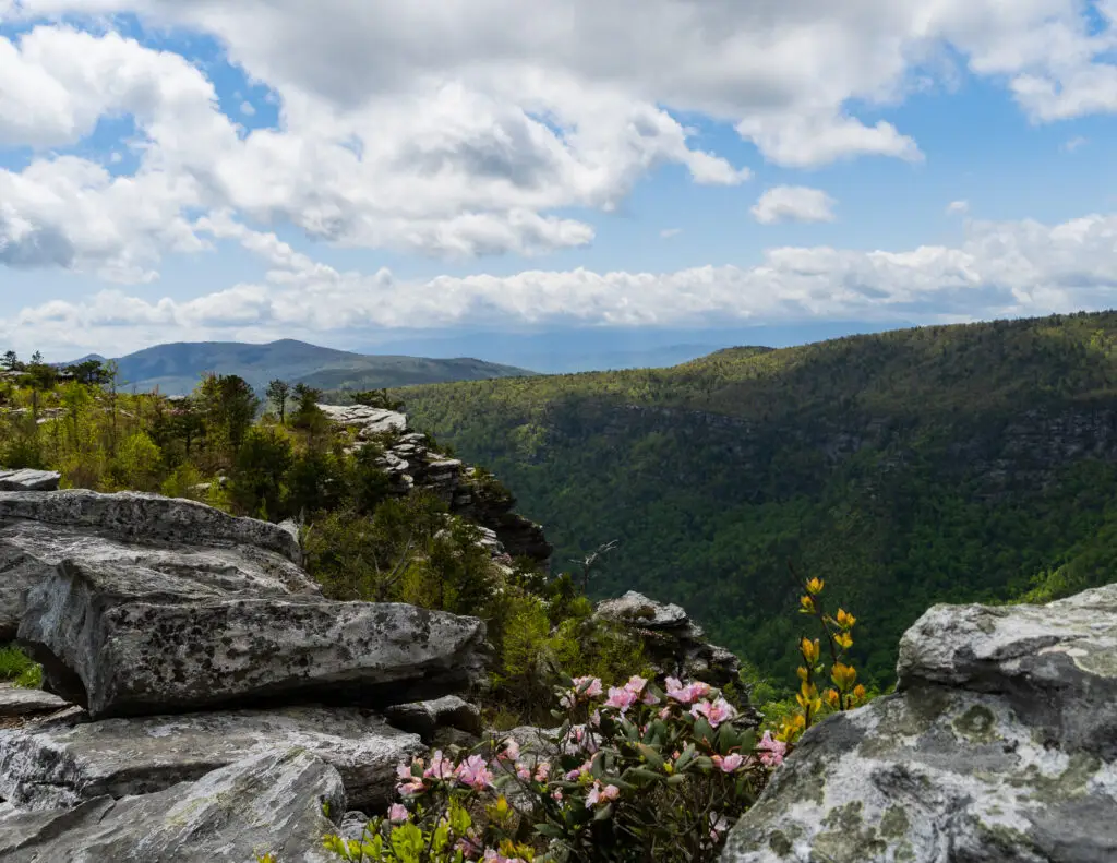
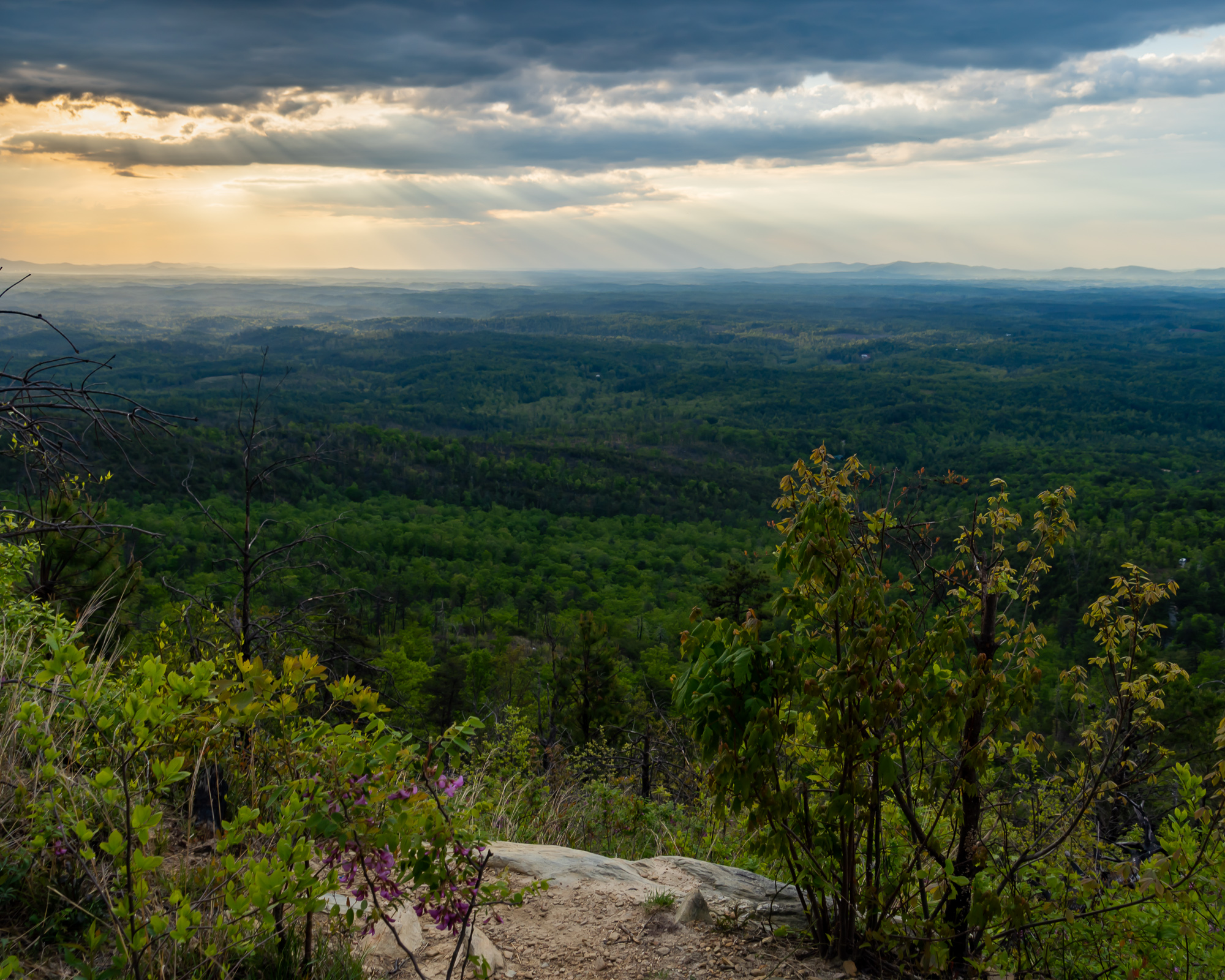
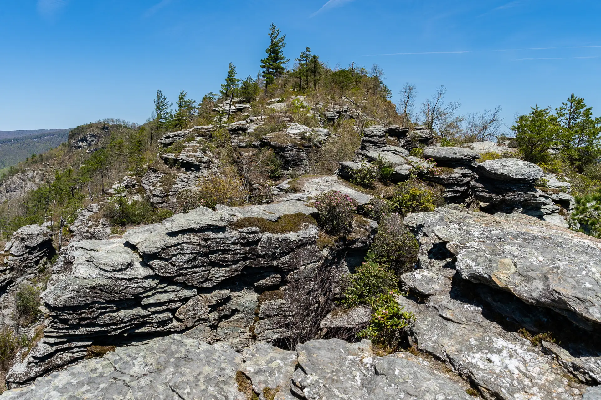
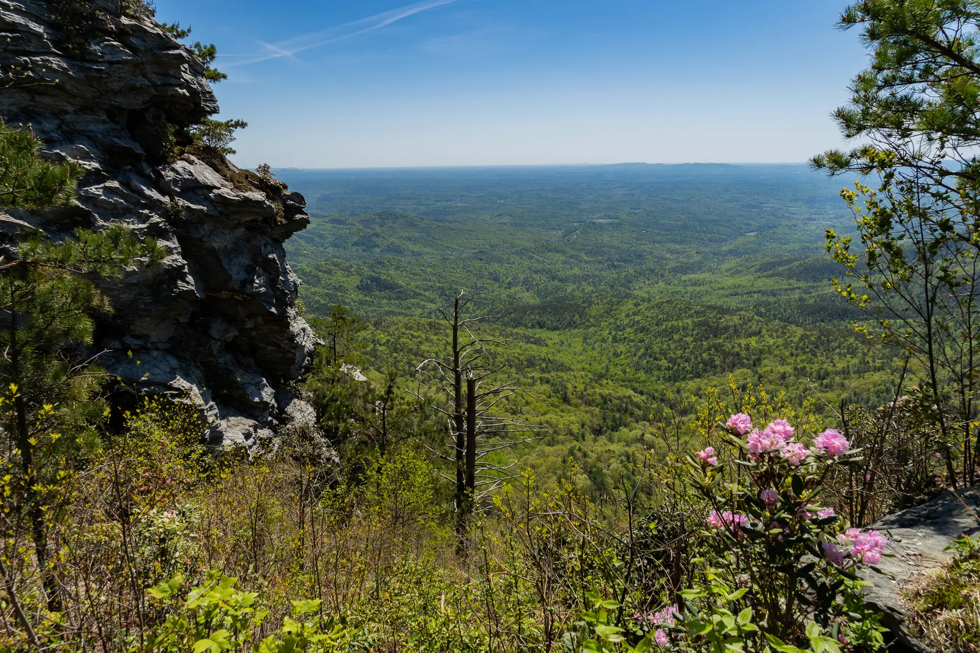
The Chimneys and Table Rock Mountain via the Mountain-to-Sea Trail
The Chimneys and Table Rock Mountain via the Mountain-to-Sea Trail


July 23, 2024